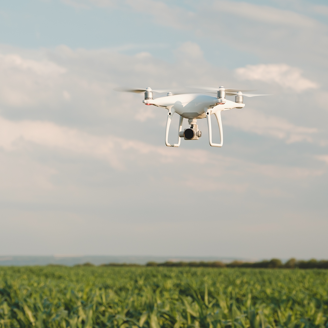
Multispectral Sprouting Corn Dataset - 350ft AGL - Mavic 3 Multispectral
Golf Course Photogrammetry Dataset - Mavic 3 Multispectral - 400ft AGL 80/80
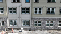
Facade Photogrammetry Dataset - Mavic 3 Pro - 97 Photos
We sell drone datasets that follow nation rules and regulations for use in Photogrammetry Processing, Machine Learning, Education, Marketing and more.


Keep up with the latest data offerings!
Subscribe to our newsletter
Get on the list to receive the latest datasets and deals coming out!
Testimonials
The data was high quality then expected. Worked great for our use for object detection in TensorFlow. We had to down sample the ortho images to run with our system.
We used pix4d to process the project on a standalone machine.
Some of our students utilized this data for their photogrammetry course and final projects. While some students had their own drones, others did not. Ultimately, using this data proved to be a cost-effective alternative to purchasing and operating drones for the class.
Accessing high quality data can be challenging to new coming GIS and Drone Professionals. We sold some of our Privacy Compliant data to Aerial Datasets to make Photogrammetry data more accessible.


